Skip to Content
Scottish Pictures
Home
Maps
Views
Other Prints
Delivery
Contact
0
0
Scottish Pictures
Home
Maps
Views
Other Prints
Delivery
Contact
0
0
Home
Maps
Views
Other Prints
Delivery
Contact
Scottish County/Region Maps Southern part of the Western Isles – published by John Thomson in his Atlas of Scotland
BZ4R5693.png Image 1 of
BZ4R5693.png
BZ4R5693.png

Southern part of the Western Isles – published by John Thomson in his Atlas of Scotland

£85.00

Cartographer / Engraver: Wm. Johnson, Edinburgh / W. Dassouville, Edinburgh

Medium / Size: copperplate engraved map / c.530 x 700mm

Date: 1823

Add To Cart

Cartographer / Engraver: Wm. Johnson, Edinburgh / W. Dassouville, Edinburgh

Medium / Size: copperplate engraved map / c.530 x 700mm

Date: 1823

Cartographer / Engraver: Wm. Johnson, Edinburgh / W. Dassouville, Edinburgh

Medium / Size: copperplate engraved map / c.530 x 700mm

Date: 1823

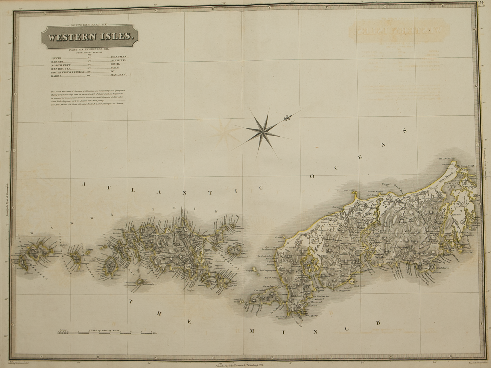
Brief Description: Southern part of the Outer Hebrides from South Uist – Barra – Berneray; original outline colour; some slight offsetting otherwise very good condition 

You Might Also Like

BZ4R5441.png
Ivra Insula………
£275.00
BZ4R5446.png
Lorna
£325.00
sold out
BZ4R5443.png
Strath-Navernia……
£225.00
Northern Invernesshire.png Northern Invernesshire.png Northern Invernesshire.png
Northern Part of Inverness-shire – published by John Thomson in his Atlas of Scotland
£185.00
BZ4R5442.png
Cathnesia
£225.00
Email Us


Trading Terms & Customer Information


Scottish Pictures

Email: ian@scottishpictures.com


Privacy Policy