Skip to Content
Scottish Pictures
Home
Maps
Views
Other Prints
Delivery
Contact
0
0
Scottish Pictures
Home
Maps
Views
Other Prints
Delivery
Contact
0
0
Home
Maps
Views
Other Prints
Delivery
Contact
Scottish County/Region Maps Southern Part of Inverness-shire – published by John Thomson in his Atlas of Scotland
Southern Invernessshire.png Image 1 of 3
Southern Invernessshire.png
BZ4R5652.png Image 2 of 3
BZ4R5652.png
BZ4R5653.png Image 3 of 3
BZ4R5653.png
Southern Invernessshire.png
BZ4R5652.png
BZ4R5653.png

Southern Part of Inverness-shire – published by John Thomson in his Atlas of Scotland

£75.00

Cartographer / Engraver: Wm. Johnson / J. & G. Menzies, Edinburgh

Medium / Size: 2 copperplate engraved maps / 2 x c.510 x 655mm

Date: 1830

Add To Cart

Cartographer / Engraver: Wm. Johnson / J. & G. Menzies, Edinburgh

Medium / Size: 2 copperplate engraved maps / 2 x c.510 x 655mm

Date: 1830

Cartographer / Engraver: Wm. Johnson / J. & G. Menzies, Edinburgh

Medium / Size: 2 copperplate engraved maps / 2 x c.510 x 655mm

Date: 1830

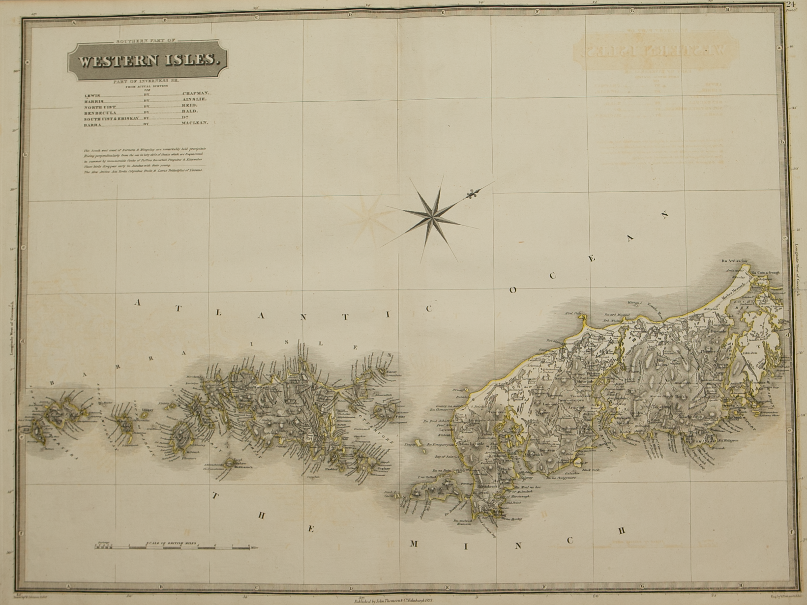
Brief Description: Southern rural Inverness-shire bordering on Perthshire & Argyllshire; original outline colour, very good condition  

You Might Also Like

Argyllshire.png Argyllshire.png Argyllshire.png
Northern and Southern parts of Argyllshire – published by John Thomson in his Atlas of Scotland
£275.00
BZ4R5632.png
Caithness-shire – published by John Thomson in his Atlas of Scotland
£85.00
BZ4R5981.png
Shetland Islands
£45.00
BZ4R5436.png
Vistvs insvla vulgo Viist ………
£250.00
BZ4R5435.png
Leogvs et Haraia ……….
£250.00
Email Us


Trading Terms & Customer Information


Scottish Pictures

Email: ian@scottishpictures.com


Privacy Policy