Skip to Content
Scottish Pictures
Home
Maps
Views
Other Prints
Delivery
Contact
0
0
Scottish Pictures
Home
Maps
Views
Other Prints
Delivery
Contact
0
0
Home
Maps
Views
Other Prints
Delivery
Contact
Scottish County/Region Maps Shetland Islands
BZ4R5981.png Image 1 of
BZ4R5981.png
BZ4R5981.png

Shetland Islands

£45.00

Cartographer / Engraver: John Lothian / -----

Medium / Size: steel plate engraved map / c.240 x 185mm

Date: 1839

Add To Cart

Cartographer / Engraver: John Lothian / -----

Medium / Size: steel plate engraved map / c.240 x 185mm

Date: 1839

Cartographer / Engraver: John Lothian / -----

Medium / Size: steel plate engraved map / c.240 x 185mm

Date: 1839

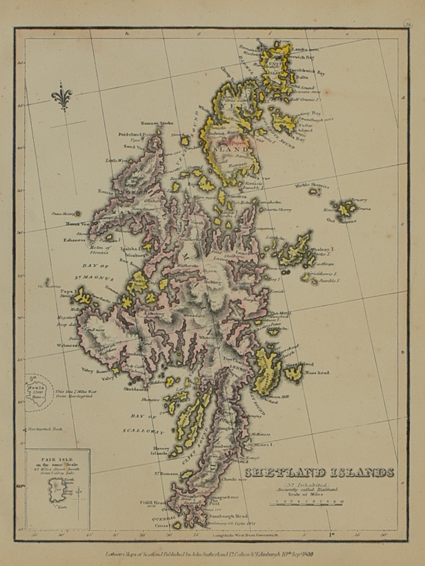
Brief Description: Original outline colour; excellent condition 

You Might Also Like

Southern Invernessshire.png Southern Invernessshire.png Southern Invernessshire.png
Southern Part of Inverness-shire – published by John Thomson in his Atlas of Scotland
£75.00
BZ4R5693.png
Southern part of the Western Isles – published by John Thomson in his Atlas of Scotland
£85.00
BZ4R5443.png
Strath-Navernia……
£225.00
BZ4R5435.png
Leogvs et Haraia ……….
£250.00
BZ4R5455.png
Buthe Insula Vulgo – The Yle of Boot
£225.00
Email Us


Trading Terms & Customer Information


Scottish Pictures

Email: ian@scottishpictures.com


Privacy Policy