Skip to Content
Scottish Pictures
Home
Maps
Views
Other Prints
Delivery
Contact
0
0
Scottish Pictures
Home
Maps
Views
Other Prints
Delivery
Contact
0
0
Home
Maps
Views
Other Prints
Delivery
Contact
Scottish County/Region Maps Renfrewshire – published by John Thomson in his Atlas of Scotland
BZ4R5692.png Image 1 of
BZ4R5692.png
BZ4R5692.png

Renfrewshire – published by John Thomson in his Atlas of Scotland

£125.00

Cartographer / Engraver: ----- / E. Butterworth, Edinburgh

Medium / Size: copperplate engraved map / c.515 x 665mm

Date: 1826

Add To Cart

Cartographer / Engraver: ----- / E. Butterworth, Edinburgh

Medium / Size: copperplate engraved map / c.515 x 665mm

Date: 1826

Cartographer / Engraver: ----- / E. Butterworth, Edinburgh

Medium / Size: copperplate engraved map / c.515 x 665mm

Date: 1826

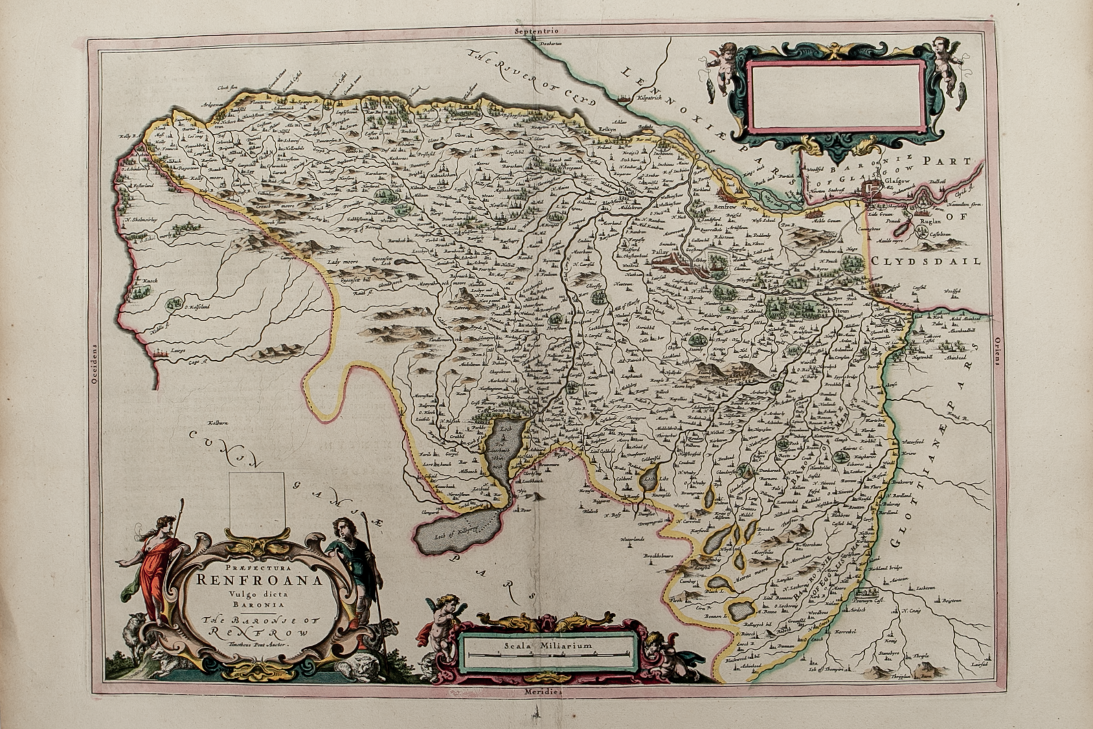
Brief Description:  Map bordered to the south by Ayrshire and to the north by the Firth of Clyde; city of Glasgow featured; original outline colour; very good condition

You Might Also Like

BZ4R5459.png
Coila Provincia - The Province of Kyle
£325.00
BZ4R5647.png
Dumbartonshire – published by John Thomson in his Atlas of Scotland
£125.00
BZ4R5452.png
Praefectura Renfroana Vulgo dicta Baronia………
£300.00
BZ4R5458.png
Cvninghamia
£225.00
BZ4R5461.png
Carricta Meridionalis …….
£225.00
Email Us


Trading Terms & Customer Information


Scottish Pictures

Email: ian@scottishpictures.com


Privacy Policy