 Image 1 of 1
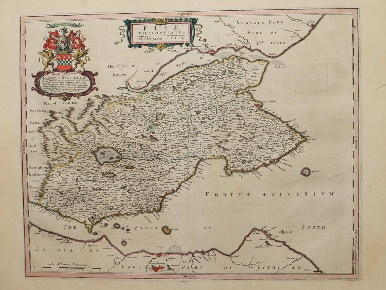
Brief Description: Recognised as the most accurate map in the Blaeu atlases of Scotland, sitting between the Firths of Tay & Forth; towns such as St Andrews, Elie, Pittenween, Anstruther, Crail, Cupar, Kircaldy etc all featured; Dundee and Edinburgh are also shown; original colour; Dutch text verso; excellent condition