 Image 1 of 1
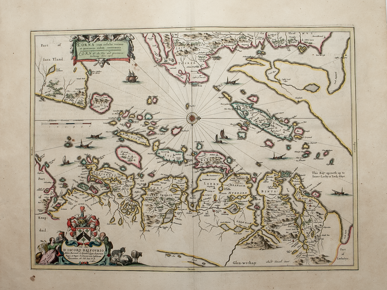
Brief Description: Group of islands extending from the north tip of the Isle of Jura – the eastern side of Mull - entrance to Loch Linnhe at northern end of map – eastern seaboard of Scotland to bottom of map; original colour; Latin text verso; excellent condition