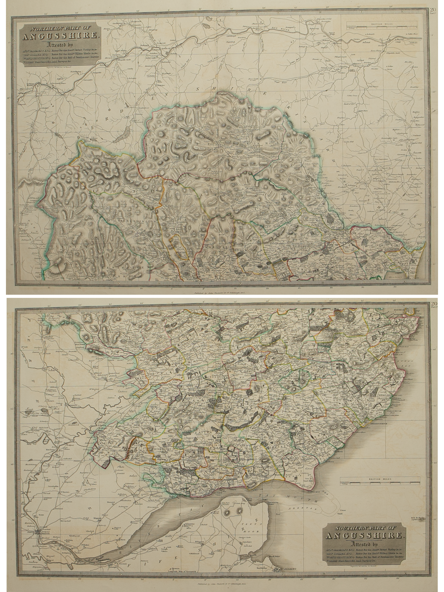
Image 1 of 5
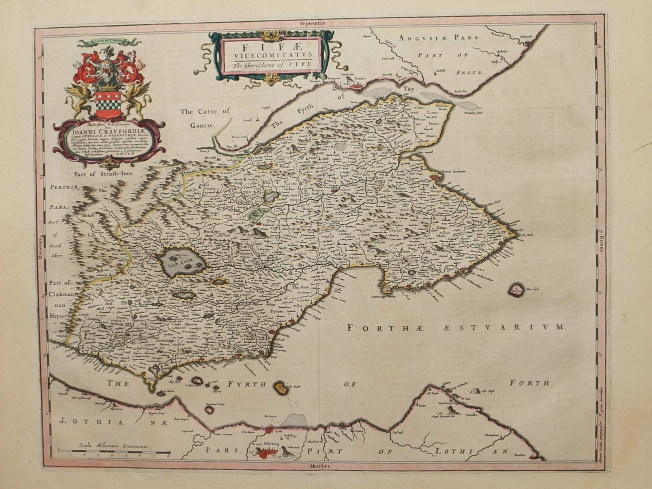
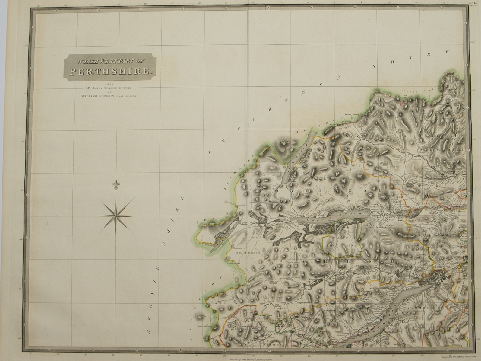 Image 2 of 5
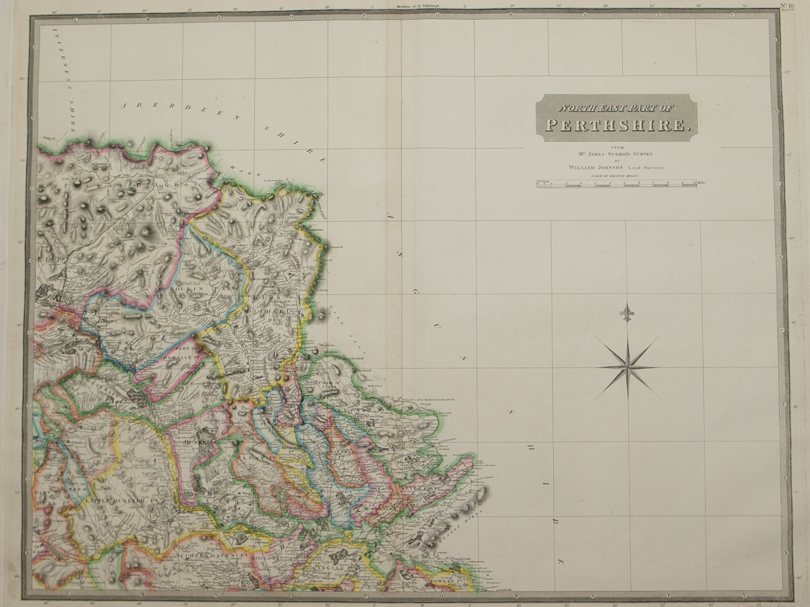 Image 3 of 5
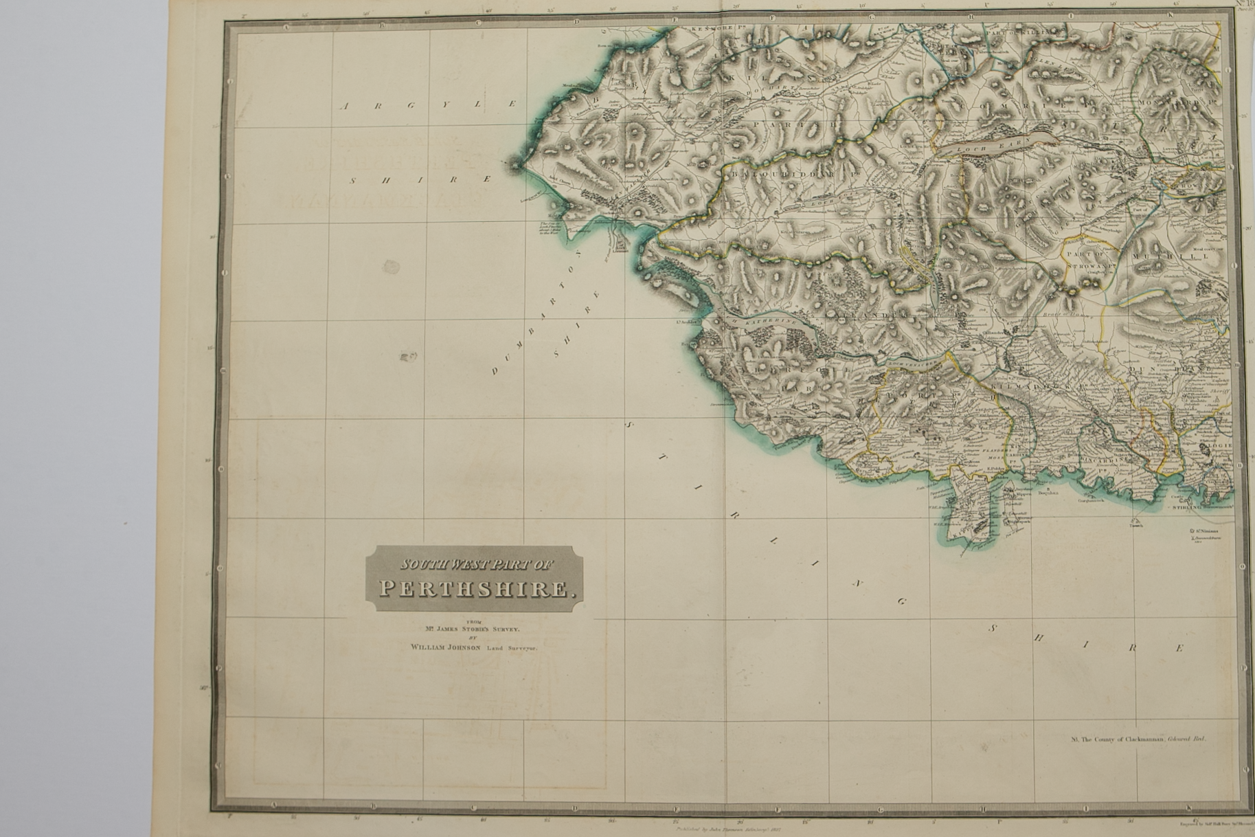 Image 4 of 5
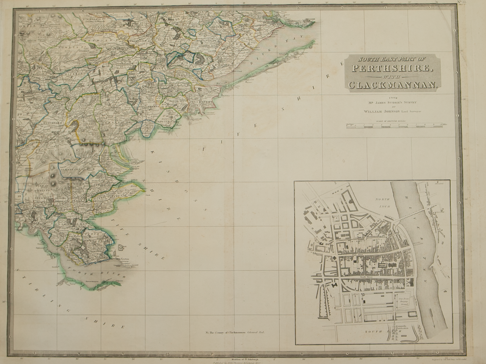 Image 5 of 5
Brief Description: Large 4 sheet map of the county; original outline colour; inset town plan of Perth on S.E. Map; very good condition