Image 1 of 1
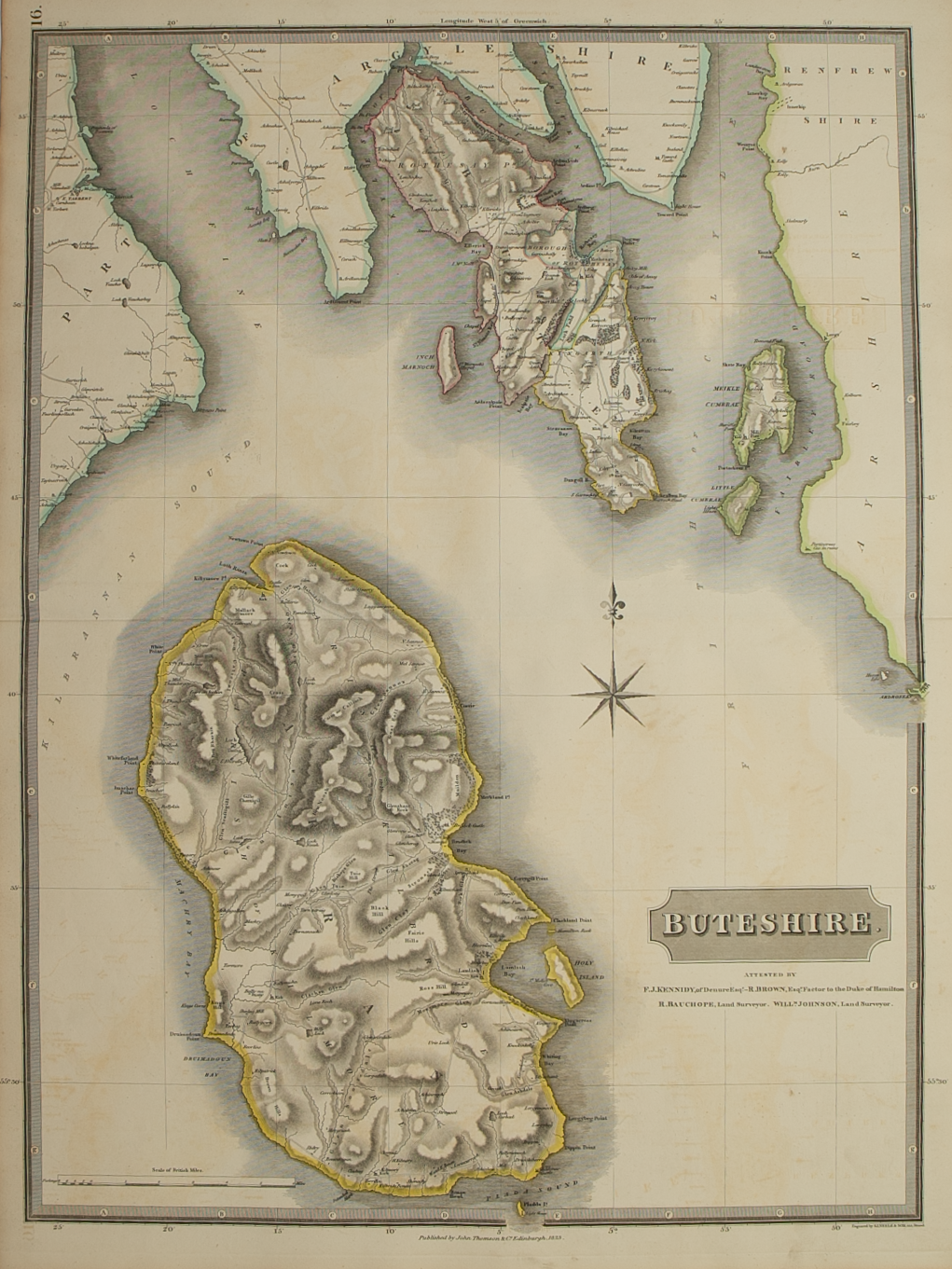
Brief Description: Attractive large scale map of the islands; original outline colour; very good condition
Cartographer / Engraver: ---- / T. Clerk
Medium / Size: copperplate engraved map / c.675 x 525mm
Date: 1822
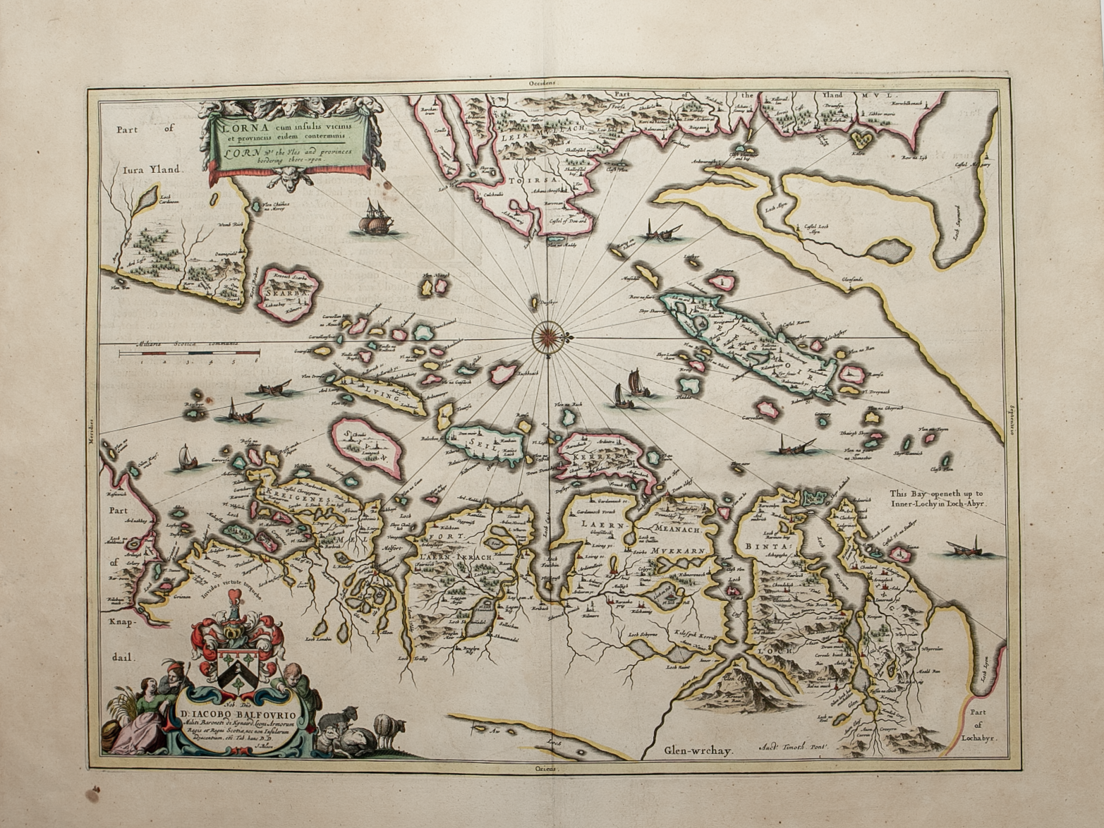
Cartographer / Engraver: ---- / T. Clerk
Medium / Size: copperplate engraved map / c.675 x 525mm
Date: 1822
Brief Description: Attractive large scale map of the islands; original outline colour; very good condition