Skip to Content
Scottish Pictures
Home
Maps
Views
Other Prints
Delivery
Contact
0
0
Scottish Pictures
Home
Maps
Views
Other Prints
Delivery
Contact
0
0
Home
Maps
Views
Other Prints
Delivery
Contact
Scottish County/Region Maps Northern Part of Kirkcudbright-shire – published by John Thomson in his Atlas of Scotland
BZ4R5657.png Image 1 of
BZ4R5657.png
BZ4R5657.png

Northern Part of Kirkcudbright-shire – published by John Thomson in his Atlas of Scotland

£50.00

Cartographer / Engraver: Wm Johnston / John Moffat

Medium / Size: copperplate engraved map / c.520 x 670mm

Date: 1821

Add To Cart

Cartographer / Engraver: Wm Johnston / John Moffat

Medium / Size: copperplate engraved map / c.520 x 670mm

Date: 1821

Cartographer / Engraver: Wm Johnston / John Moffat

Medium / Size: copperplate engraved map / c.520 x 670mm

Date: 1821

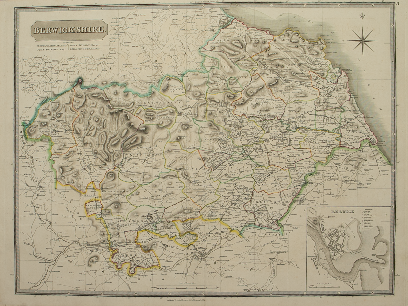
Brief Description: Original outline colour; some creasing along map centrefold otherwise  good condition 

You Might Also Like

BZ4R5694.png
County of Wigton – published by John Thomson in his Atlas of Scotland
£125.00
BZ4R5466.png
Nithia Vicecomitatvs – The Sherifdome of Njdjs-Dajl
£225.00
BZ4R5467.png
Annandiae Prefectura, Vulgo The Stewartrie of Annandail
£225.00
BZ4R5462.png
Praefectvra Kircvbriensis …………
£225.00
Roxburghshire.png Roxburghshire.png Roxburghshire.png
Northern and Southern parts of Roxburghshire – published by John Thomson in his Atlas of Scotland
£185.00
Email Us


Trading Terms & Customer Information


Scottish Pictures

Email: ian@scottishpictures.com


Privacy Policy