Skip to Content
Scottish Pictures
Home
Maps
Views
Other Prints
Delivery
Contact
0
0
Scottish Pictures
Home
Maps
Views
Other Prints
Delivery
Contact
0
0
Home
Maps
Views
Other Prints
Delivery
Contact
Scottish County/Region Maps Northern and Southern parts of Ross & Cromarty Shires – published by John Thomson in his Atlas of Scotland
North & South Ross & Cramontry.png Image 1 of 3
North & South Ross & Cramontry.png
BZ4R5681.png Image 2 of 3
BZ4R5681.png
BZ4R5682.png Image 3 of 3
BZ4R5682.png
North & South Ross & Cramontry.png
BZ4R5681.png
BZ4R5682.png

Northern and Southern parts of Ross & Cromarty Shires – published by John Thomson in his Atlas of Scotland

£125.00

Cartographer / Engraver: John Craig / -----

Medium / Size: 2 copperplate engraved maps / c.535 x 710mm

Date: 1826

Add To Cart

Cartographer / Engraver: John Craig / -----

Medium / Size: 2 copperplate engraved maps / c.535 x 710mm

Date: 1826

Cartographer / Engraver: John Craig / -----

Medium / Size: 2 copperplate engraved maps / c.535 x 710mm

Date: 1826

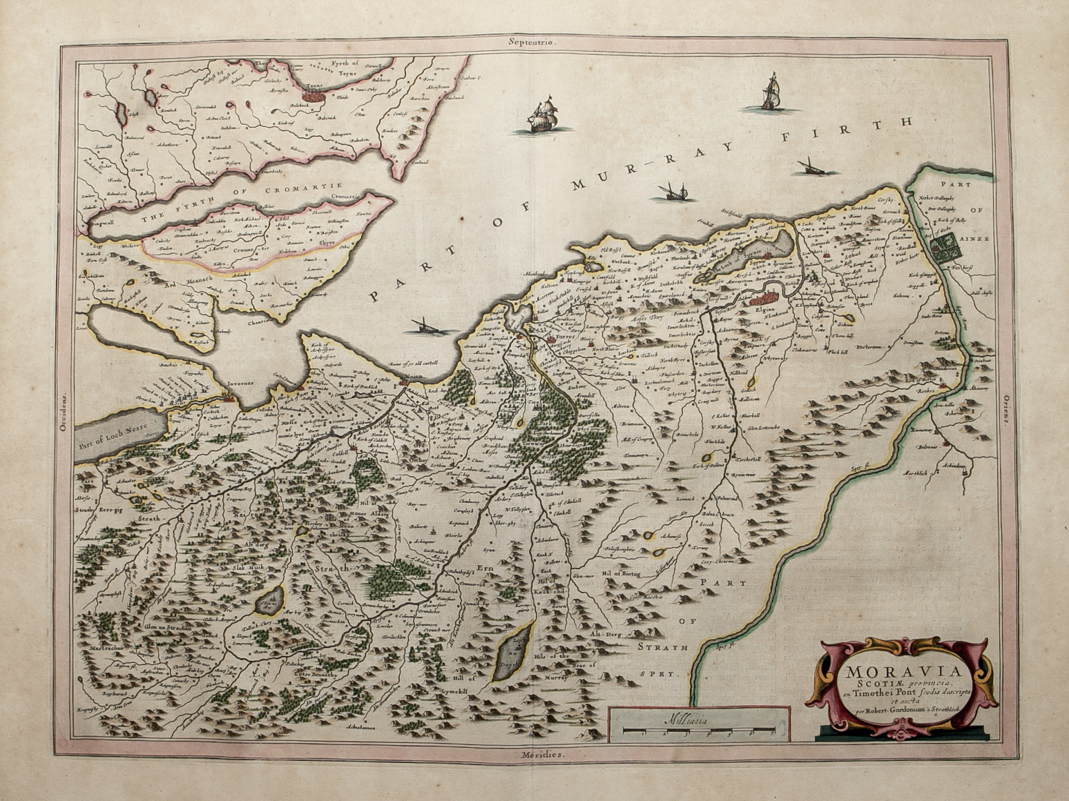
Brief Description: Ross & Cromarty extends from the Dornoch Firth – Murray Firth – Loch Ness in the east, and from Loch Enard – Isle of Skye in the west; original outline colour; map includes a large inset map of the Isle of Lewis (part of Lewis); very good condition  

You Might Also Like

BZ4R5435.png
Leogvs et Haraia ……….
£250.00
BZ4R5446.png
Lorna
£325.00
sold out
BZ4R5445.png
Moravia Scotiae provincial …….
£325.00
sold out
BZ4R5670.png
Orkney Islands – published by John Thomson in his Atlas of Scotland
£155.00
BZ4R5457.png
Knapdalia Provincia ……….
£225.00
Email Us


Trading Terms & Customer Information


Scottish Pictures

Email: ian@scottishpictures.com


Privacy Policy