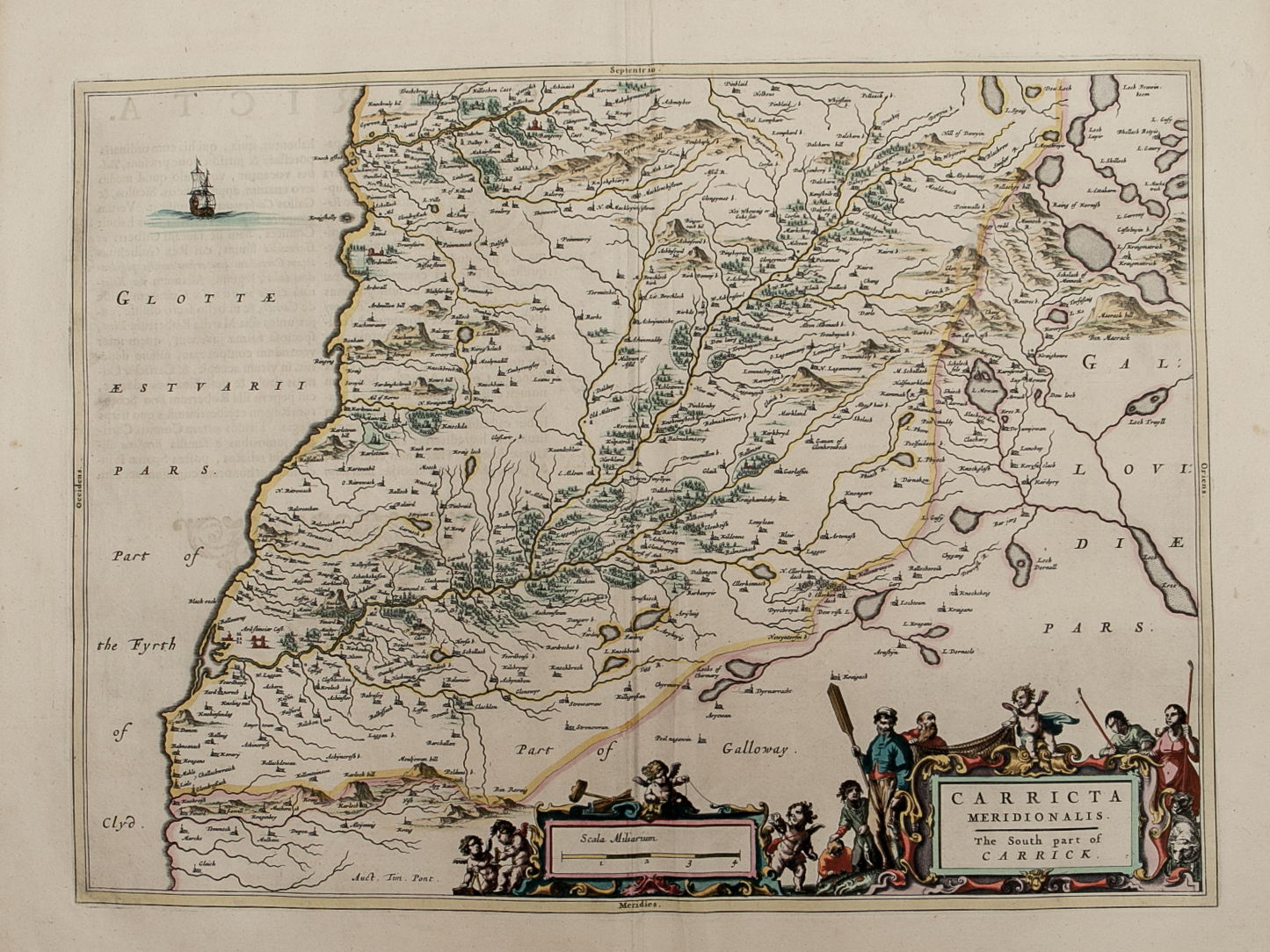
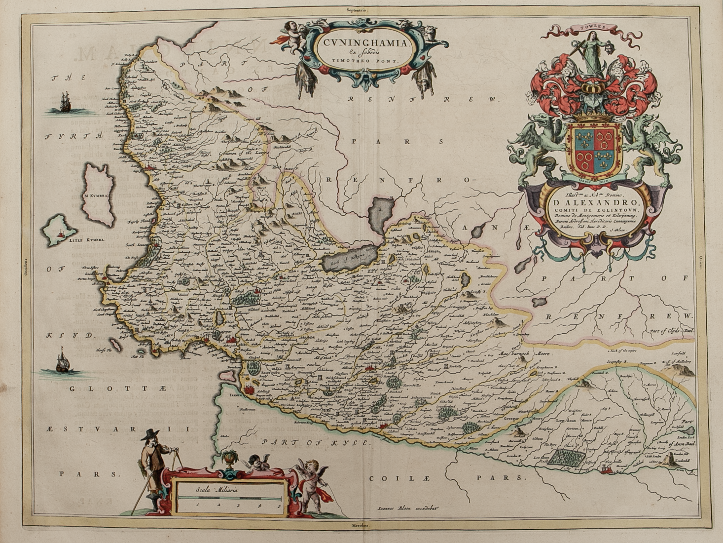
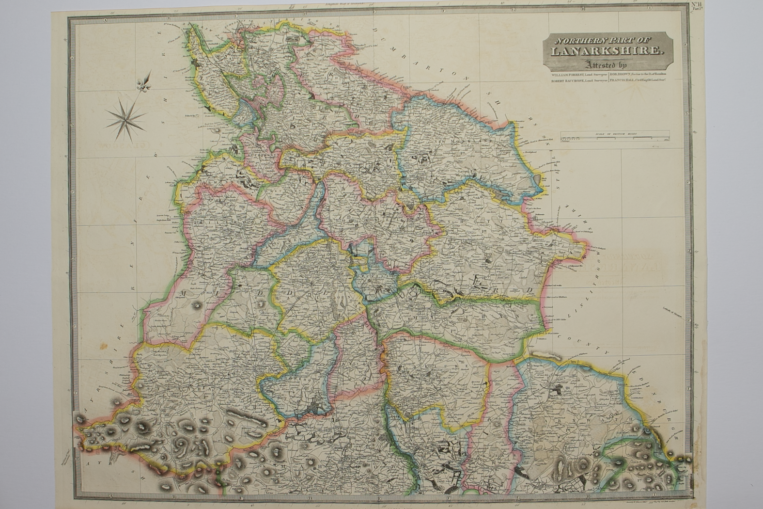
Skip to Content
Scottish Pictures
Home
Maps
Views
Other Prints
Delivery
Contact
0
0
Scottish Pictures
Home
Maps
Views
Other Prints
Delivery
Contact
0
0
Home
Maps
Views
Other Prints
Delivery
Contact
Scottish County/Region Maps Northern and Southern parts of Lanarkshire – published by John Thomson in his Atlas of Scotland
Lanarkshire.png Image 1 of 3
Lanarkshire.png
BZ4R5659.png Image 2 of 3
BZ4R5659.png
BZ4R5660.png Image 3 of 3
BZ4R5660.png
Lanarkshire.png
BZ4R5659.png
BZ4R5660.png

Northern and Southern parts of Lanarkshire – published by John Thomson in his Atlas of Scotland

£225.00

Cartographer / Engraver: Wm Johnston / Sidney Hall, London

Medium / Size: 2 copperplate engraved maps / both c.545 x 680mm

Date: 1822

Add To Cart

Cartographer / Engraver: Wm Johnston / Sidney Hall, London

Medium / Size: 2 copperplate engraved maps / both c.545 x 680mm

Date: 1822

Cartographer / Engraver: Wm Johnston / Sidney Hall, London

Medium / Size: 2 copperplate engraved maps / both c.545 x 680mm

Date: 1822

Brief Description: Engraving of Bonnington Linn on southern sheet; original outline colour; both maps trimmed to near Neat line at top and bottom of Sheets with no loss of map information otherwise good condition 

You Might Also Like

BZ4R5452.png
Praefectura Renfroana Vulgo dicta Baronia………
£300.00
BZ4R5460.png
Caricta Borealis ……….
£225.00
BZ4R5971.png
Ayr
£45.00
BZ4R5692.png
Renfrewshire – published by John Thomson in his Atlas of Scotland
£125.00
BZ4R5461.png
Carricta Meridionalis …….
£225.00
Email Us


Trading Terms & Customer Information


Scottish Pictures

Email: ian@scottishpictures.com


Privacy Policy