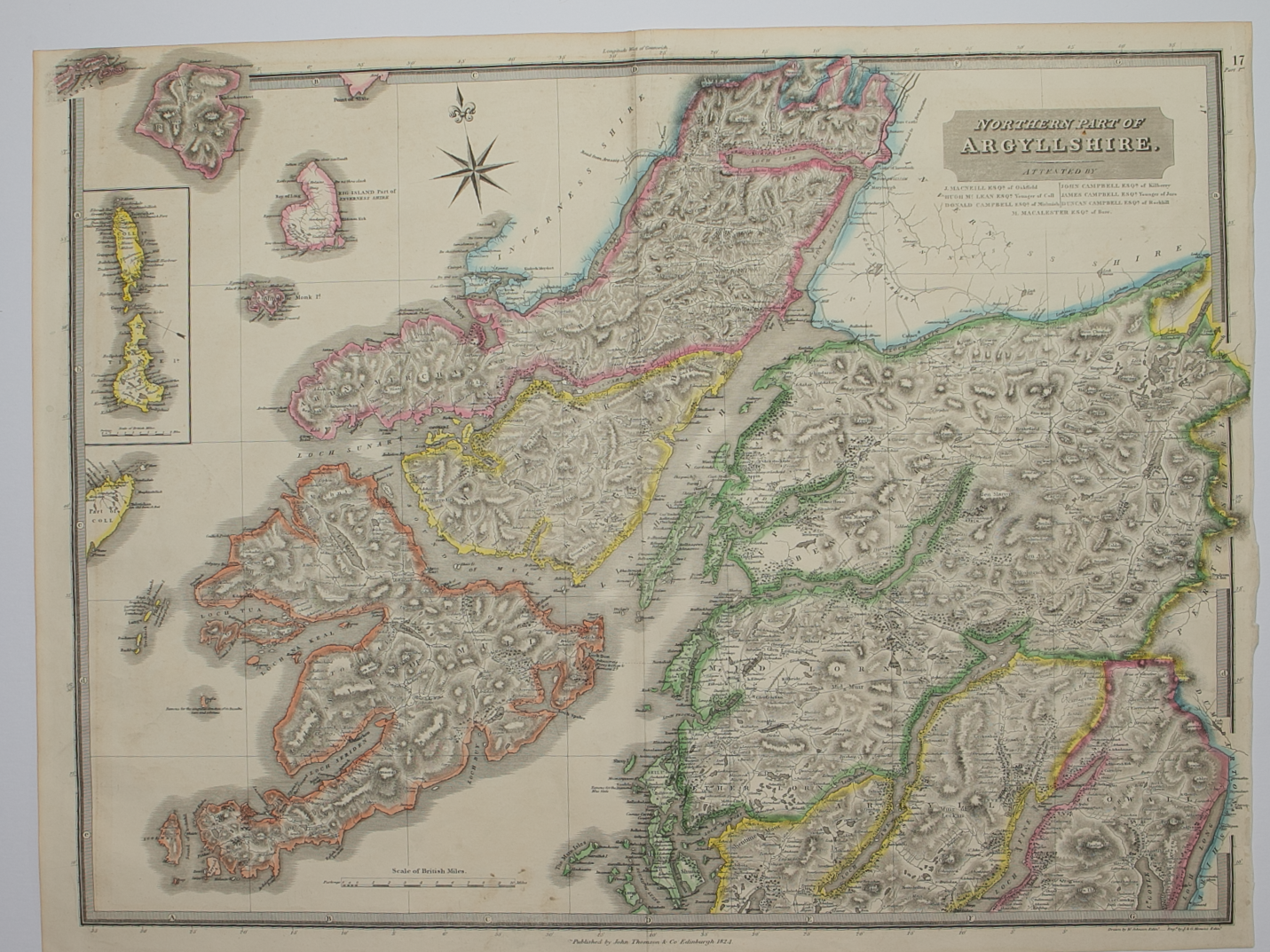
Skip to Content
Scottish Pictures
Home
Maps
Views
Other Prints
Delivery
Contact
0
0
Scottish Pictures
Home
Maps
Views
Other Prints
Delivery
Contact
0
0
Home
Maps
Views
Other Prints
Delivery
Contact
Scottish County/Region Maps Northern and Southern parts of Argyllshire – published by John Thomson in his Atlas of Scotland
Argyllshire.png Image 1 of 3
Argyllshire.png
BZ4R5624.png Image 2 of 3
BZ4R5624.png
BZ4R5625.png Image 3 of 3
BZ4R5625.png
Argyllshire.png
BZ4R5624.png
BZ4R5625.png

Northern and Southern parts of Argyllshire – published by John Thomson in his Atlas of Scotland

£275.00

Cartographer / Engraver: W. Johnston / J. & G. Menzies

Medium / Size: 2 x copperplate engraved maps / 1 sheet c.530 x 700mm; 1 sheet c.530 x 725mm

Date: 1824

Add To Cart

Cartographer / Engraver: W. Johnston / J. & G. Menzies

Medium / Size: 2 x copperplate engraved maps / 1 sheet c.530 x 700mm; 1 sheet c.530 x 725mm

Date: 1824

Cartographer / Engraver: W. Johnston / J. & G. Menzies

Medium / Size: 2 x copperplate engraved maps / 1 sheet c.530 x 700mm; 1 sheet c.530 x 725mm

Date: 1824

Brief Description: County engraved on 2 large sheets; original outline colour; northern sheet right hand margin narrow but no loss of printed area; islands shown include Mull, Jura, Islay, Coll, Tiree, very good condition 

You Might Also Like

BZ4R5441.png
Ivra Insula………
£275.00
BZ4R5981.png
Shetland Islands
£45.00
BZ4R5443.png
Strath-Navernia……
£225.00
North & South Ross & Cramontry.png North & South Ross & Cramontry.png North & South Ross & Cramontry.png
Northern and Southern parts of Ross & Cromarty Shires – published by John Thomson in his Atlas of Scotland
£125.00
BZ4R5445.png
Moravia Scotiae provincial …….
£325.00
sold out
Email Us


Trading Terms & Customer Information


Scottish Pictures

Email: ian@scottishpictures.com


Privacy Policy