Skip to Content
Scottish Pictures
Home
Maps
Views
Other Prints
Delivery
Contact
0
0
Scottish Pictures
Home
Maps
Views
Other Prints
Delivery
Contact
0
0
Home
Maps
Views
Other Prints
Delivery
Contact
Scottish County/Region Maps Northern and Southern parts of Angus-shire – published by John Thomson in his Atlas of Scotland
Angusshire.png Image 1 of 3
Angusshire.png
BZ4R5621.png Image 2 of 3
BZ4R5621.png
BZ4R5622.png Image 3 of 3
BZ4R5622.png
Angusshire.png
BZ4R5621.png
BZ4R5622.png

Northern and Southern parts of Angus-shire – published by John Thomson in his Atlas of Scotland

£175.00

Cartographer / Engraver: Wm. Blackadder / Sidney Hall, London

Medium / Size: copperplate engraved maps / both c.530 x 680mm

Date: 1825

Add To Cart

Cartographer / Engraver: Wm. Blackadder / Sidney Hall, London

Medium / Size: copperplate engraved maps / both c.530 x 680mm

Date: 1825

Cartographer / Engraver: Wm. Blackadder / Sidney Hall, London

Medium / Size: copperplate engraved maps / both c.530 x 680mm

Date: 1825

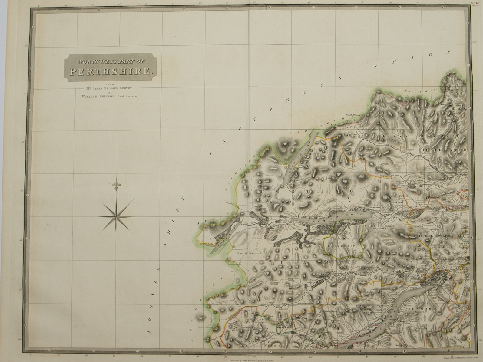
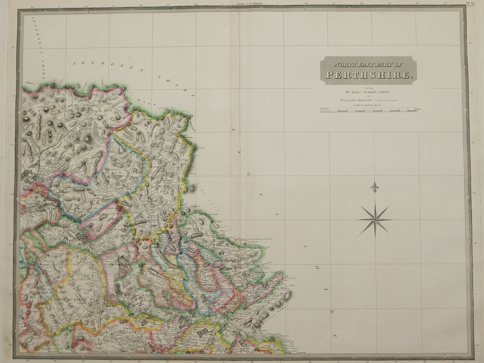
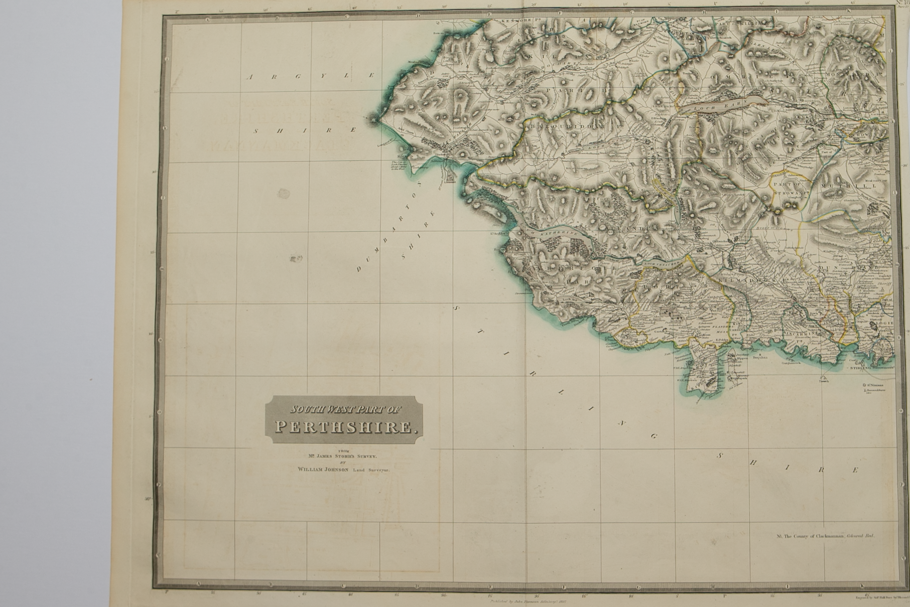
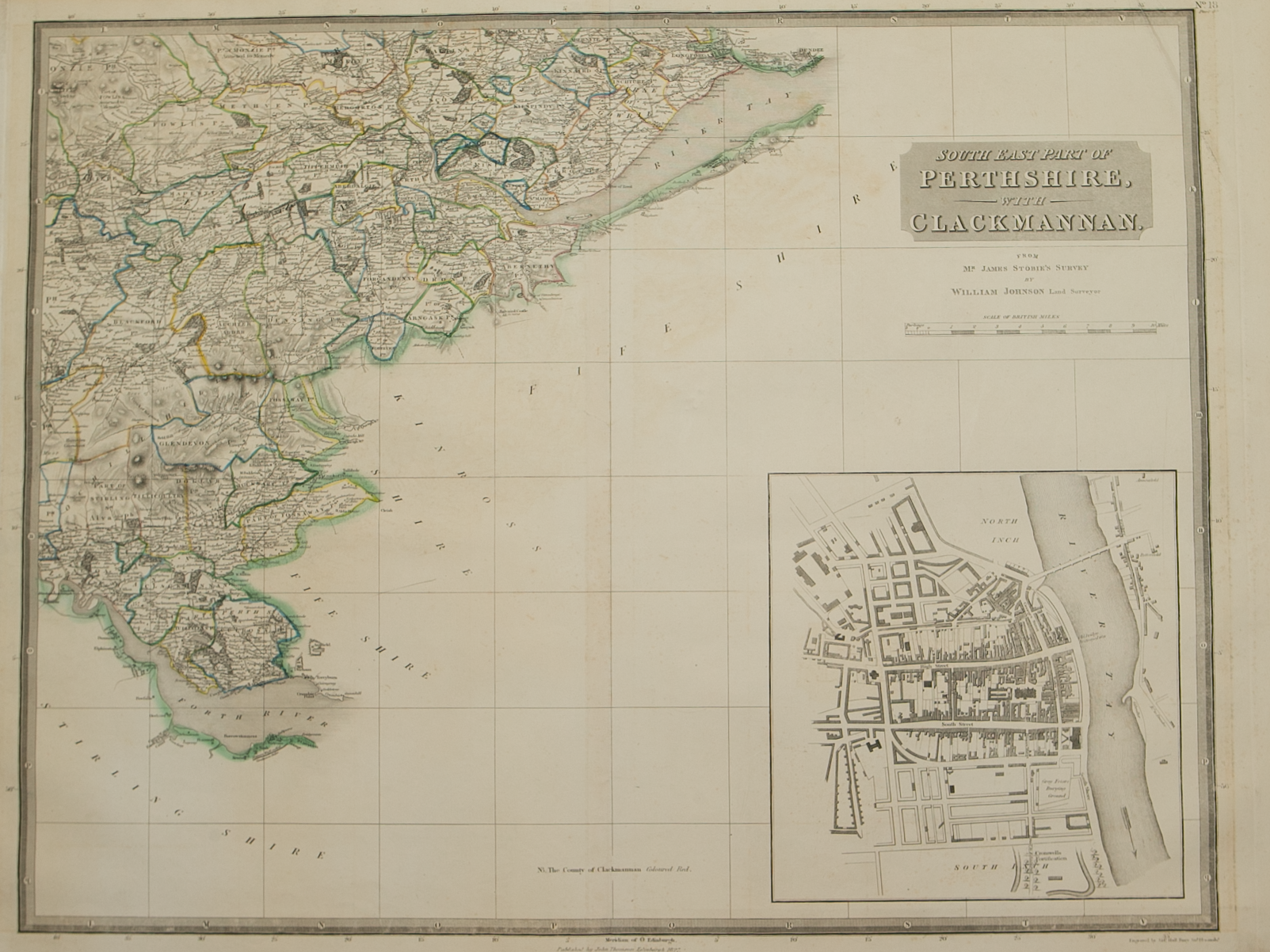
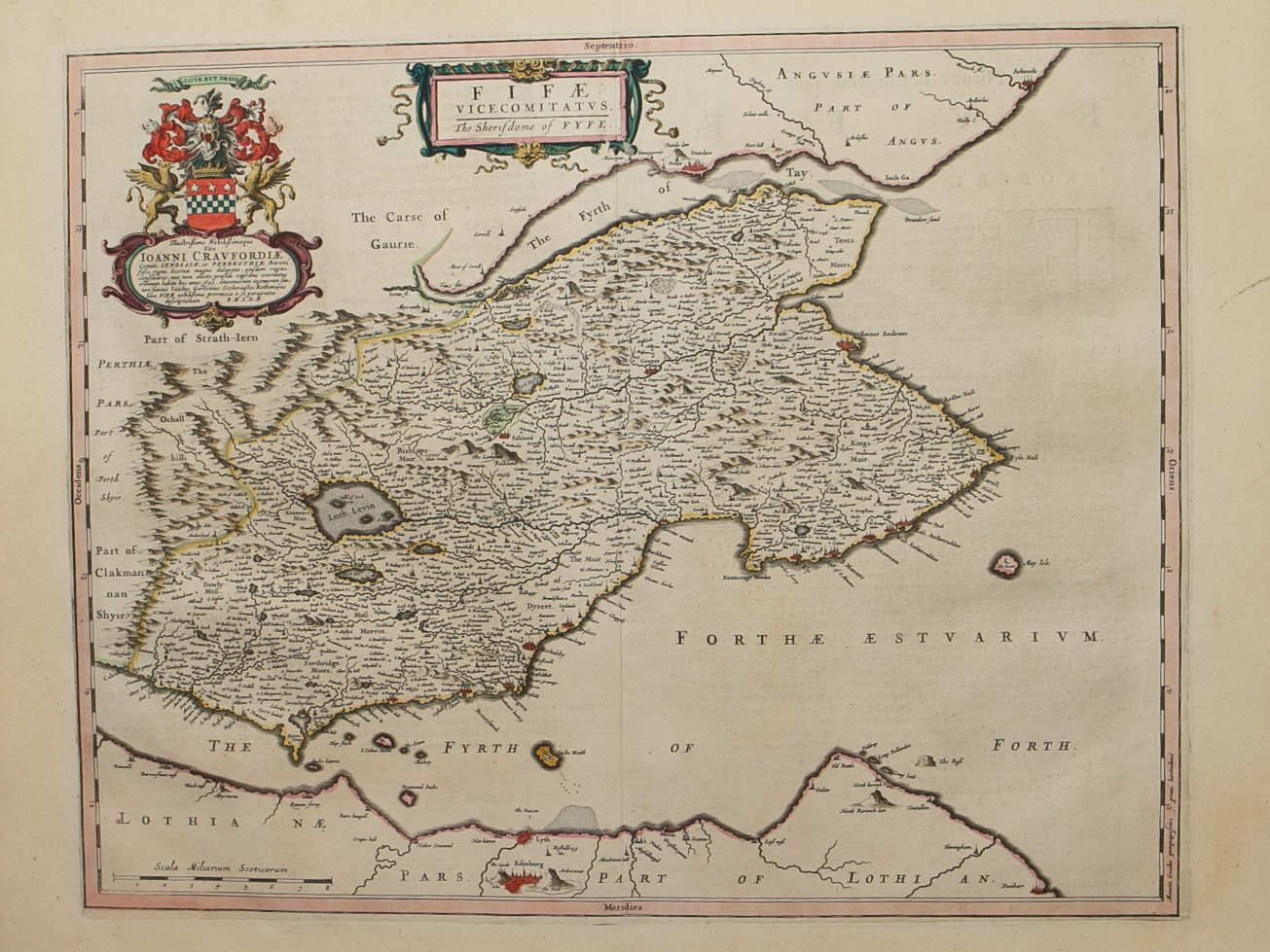
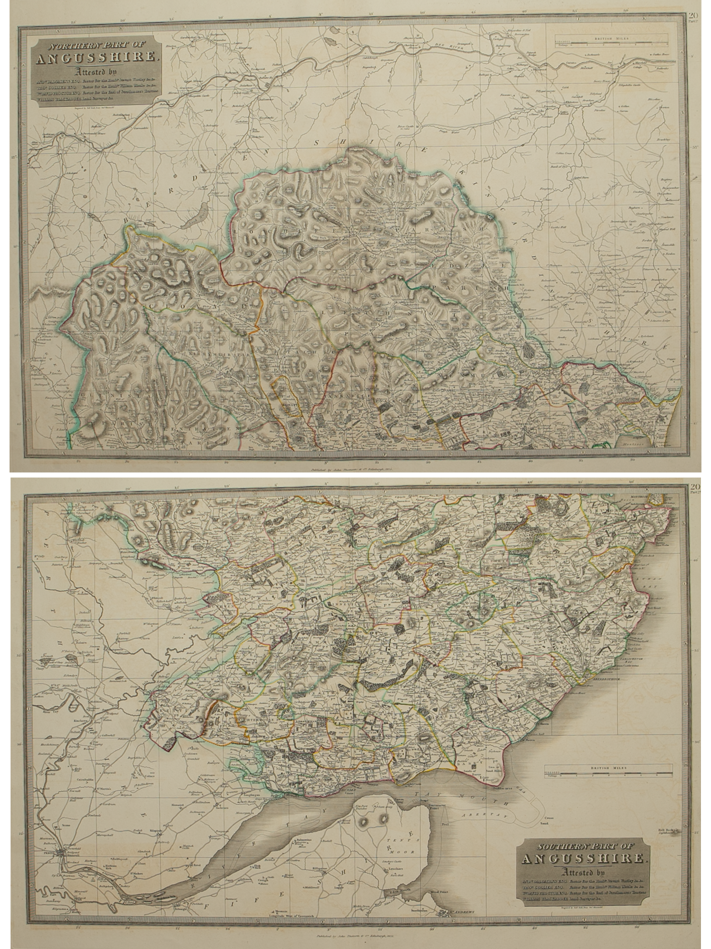
Brief Description: County extends from Aberdeenshire & Kincardine-shire in the north to the River Tay estuary; original outline colour; wide margins, very good condition 

You Might Also Like

BZ4R5840.png
Fifae Vicecomitatvs – The Sherifdome of Fyfe
£500.00
BZ4R5450.png
Sterlinensis Praefectvra
£295.00
BZ4R5974.png
Perth
£65.00
sold out
Perthshire.png Perthshire.png Perthshire.png Perthshire.png Perthshire.png
Perthshire with Clachmannan – published by John Thomson in his Atlas of Scotland
£295.00
BZ4R5449.png
Fifae ParsOccidentalis – The West Part of Fife
£225.00
Email Us


Trading Terms & Customer Information


Scottish Pictures

Email: ian@scottishpictures.com


Privacy Policy