Skip to Content
Scottish Pictures
Home
Maps
Views
Other Prints
Delivery
Contact
0
0
Scottish Pictures
Home
Maps
Views
Other Prints
Delivery
Contact
0
0
Home
Maps
Views
Other Prints
Delivery
Contact
Scottish County/Region Maps Moravia Scotiae provincial …….
BZ4R5445.png Image 1 of
BZ4R5445.png
BZ4R5445.png

Moravia Scotiae provincial …….

£325.00
sold out

Cartographer / Engraver: Robert Gordon after Timothy Pont

Medium / Size: Copperplate engraved map / c.425 x 565mm

Date: 1662

Add To Cart

Cartographer / Engraver: Robert Gordon after Timothy Pont

Medium / Size: Copperplate engraved map / c.425 x 565mm

Date: 1662

Cartographer / Engraver: Robert Gordon after Timothy Pont

Medium / Size: Copperplate engraved map / c.425 x 565mm

Date: 1662

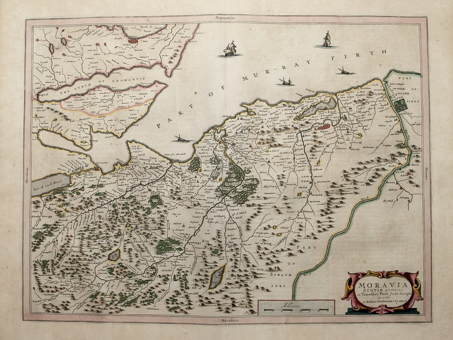
Brief Description: Covers part of Morayshire, Nairnshire, part of Inverness-shire and part of Easter Ross; main towns mapped include Elgin, Forres, Nairn and Inverness; original colour; Latin text verso; excellent condition 

You Might Also Like

BZ4R5630.png
Buteshire – published by John Thomson in his Atlas of Scotland
£125.00
BZ4R5441.png
Ivra Insula………
£275.00
Northern & MIddle Part Western Isles.png Northern & MIddle Part Western Isles.png Northern & MIddle Part Western Isles.png
Northern and Middle part of the Western Isles – published by John Thomson in his Atlas of Scotland
£150.00
BZ4R5670.png
Orkney Islands – published by John Thomson in his Atlas of Scotland
£155.00
BZ4R5455.png
Buthe Insula Vulgo – The Yle of Boot
£225.00
Email Us


Trading Terms & Customer Information


Scottish Pictures

Email: ian@scottishpictures.com


Privacy Policy