Skip to Content
Scottish Pictures
Home
Maps
Views
Other Prints
Delivery
Contact
0
0
Scottish Pictures
Home
Maps
Views
Other Prints
Delivery
Contact
0
0
Home
Maps
Views
Other Prints
Delivery
Contact
Scottish County/Region Maps Edinburghshire – published by John Thomson in his Atlas of Scotland
Edinburghshire.png Image 1 of 5
Edinburghshire.png
BZ4R5643.png Image 2 of 5
BZ4R5643.png
BZ4R5642.png Image 3 of 5
BZ4R5642.png
BZ4R5644.png Image 4 of 5
BZ4R5644.png
BZ4R5645.png Image 5 of 5
BZ4R5645.png
Edinburghshire.png
BZ4R5643.png
BZ4R5642.png
BZ4R5644.png
BZ4R5645.png

Edinburghshire – published by John Thomson in his Atlas of Scotland

£295.00

Cartographer / Engraver: ------ / ------

Medium / Size: 4 x copperplate engraved maps / all four c.530 x 690mm

Date: 1821 & 1822

Add To Cart

Cartographer / Engraver: ------ / ------

Medium / Size: 4 x copperplate engraved maps / all four c.530 x 690mm

Date: 1821 & 1822

Cartographer / Engraver: ------ / ------

Medium / Size: 4 x copperplate engraved maps / all four c.530 x 690mm

Date: 1821 & 1822

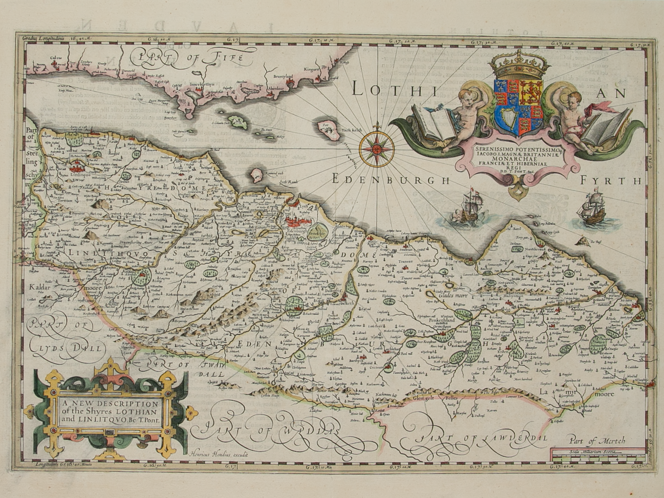
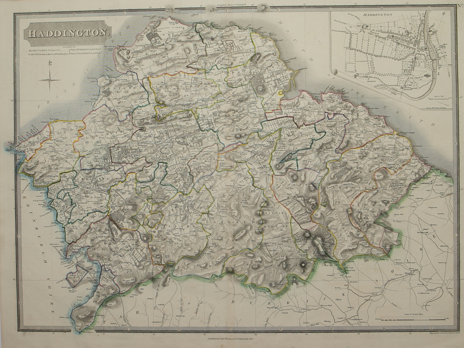
Brief Description: Large 4 sheet map of the county; original outline colour; sheets 1 & 2 have a narrow bottom border but with no loss of information; sheet 2 has a large engraving of Edinburgh Castle; very good condition

You Might Also Like

BZ4R5647.png
County of Haddington - published by John Thomson in his Atlas of Scotland
£175.00
BZ4R5970.png
Haddington
£45.00
BZ4R5969.png
Edinburgh
£55.00
sold out
BZ4R5662.png
Linlithgowshire – published by John Thomson in his Atlas of Scotland
£125.00
BZ4R5470.png
Lothian and Linlitqvo
£500.00
Email Us


Trading Terms & Customer Information


Scottish Pictures

Email: ian@scottishpictures.com


Privacy Policy