Skip to Content
Scottish Pictures
Home
Maps
Views
Other Prints
Delivery
Contact
0
0
Scottish Pictures
Home
Maps
Views
Other Prints
Delivery
Contact
0
0
Home
Maps
Views
Other Prints
Delivery
Contact
Scottish County/Region Maps Dumbartonshire – published by John Thomson in his Atlas of Scotland
BZ4R5647.png Image 1 of
BZ4R5647.png
BZ4R5647.png

Dumbartonshire – published by John Thomson in his Atlas of Scotland

£125.00

Cartographer / Engraver: ----- / -----

Medium / Size: copperplate engraved map / c.530 x 680mm

Date: 1823

Add To Cart

Cartographer / Engraver: ----- / -----

Medium / Size: copperplate engraved map / c.530 x 680mm

Date: 1823

Cartographer / Engraver: ----- / -----

Medium / Size: copperplate engraved map / c.530 x 680mm

Date: 1823

Brief Description: Map shows the Clyde estuary from Glasgow to the Firth of Clyde; Loch Lomond is shown in its entirety surrounded by high mountains such as Ben Vorlich and Ben Lomond; original outline colour; engravings of Dumbarton Castle and a plan of Dumbarton are featured; the bottom margin of map Is narrow but without loss of engraved map; good condition  

You Might Also Like

BZ4R5971.png
Ayr
£45.00
BZ4R5454.png
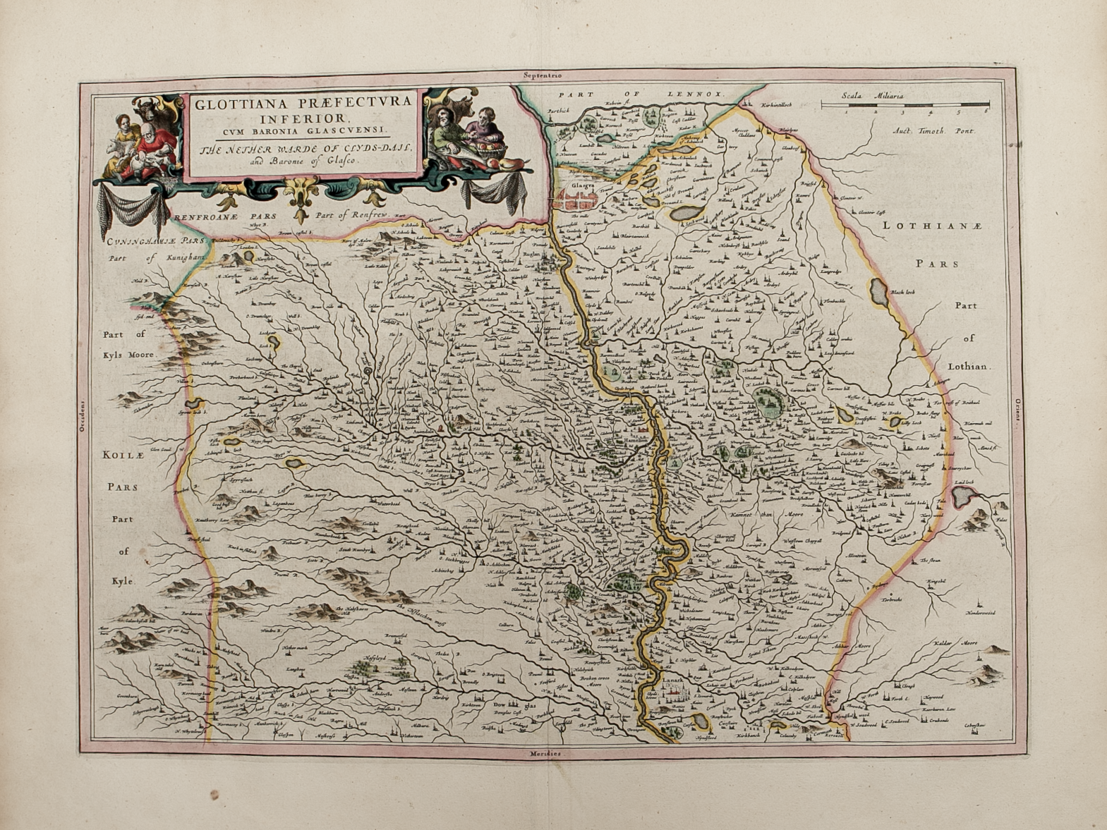
Glottiana Praefecctvra Inferior cvm Baronia Glascvensi …….
£250.00
BZ4R5461.png
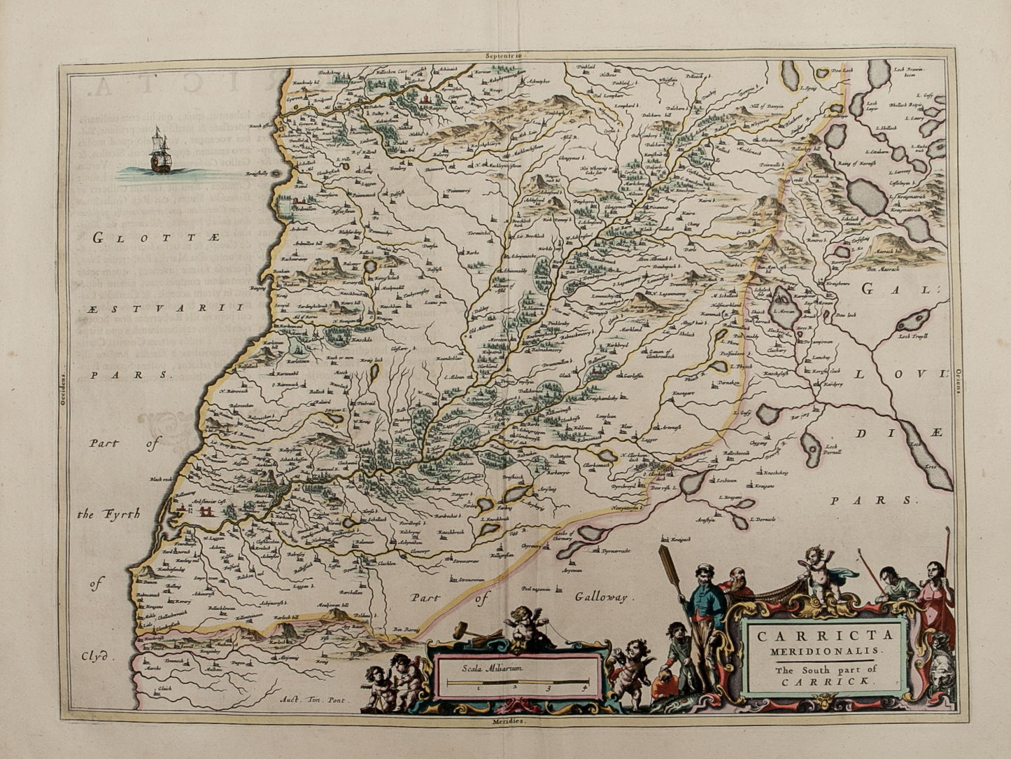
Carricta Meridionalis …….
£225.00
BZ4R5459.png
Coila Provincia - The Province of Kyle
£325.00
BZ4R5453.png
Glottiana Praefectvra Svperior……..
£250.00
Email Us


Trading Terms & Customer Information


Scottish Pictures

Email: ian@scottishpictures.com


Privacy Policy