Skip to Content
Scottish Pictures
Home
Maps
Views
Other Prints
Delivery
Contact
0
0
Scottish Pictures
Home
Maps
Views
Other Prints
Delivery
Contact
0
0
Home
Maps
Views
Other Prints
Delivery
Contact
Scottish County/Region Maps Buteshire – published by John Thomson in his Atlas of Scotland
BZ4R5630.png Image 1 of
BZ4R5630.png
BZ4R5630.png

Buteshire – published by John Thomson in his Atlas of Scotland

£125.00

Cartographer / Engraver:

Medium / Size: Wm. Johnston / S.I. Neele & Son, London

Date:1823

Add To Cart

Cartographer / Engraver:

Medium / Size: Wm. Johnston / S.I. Neele & Son, London

Date:1823

Cartographer / Engraver:

Medium / Size: Wm. Johnston / S.I. Neele & Son, London

Date:1823

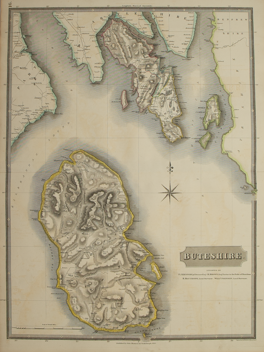
Brief Description: Islands of Bute and Arran dominate the map; original outline colour; wide margins, very good condition  

You Might Also Like

BZ4R5455.png
Buthe Insula Vulgo – The Yle of Boot
£225.00
BZ4R5457.png
Knapdalia Provincia ……….
£225.00
Southern Invernessshire.png Southern Invernessshire.png Southern Invernessshire.png
Southern Part of Inverness-shire – published by John Thomson in his Atlas of Scotland
£75.00
BZ4R5441.png
Ivra Insula………
£275.00
Northern & MIddle Part Western Isles.png Northern & MIddle Part Western Isles.png Northern & MIddle Part Western Isles.png
Northern and Middle part of the Western Isles – published by John Thomson in his Atlas of Scotland
£150.00
Email Us


Trading Terms & Customer Information


Scottish Pictures

Email: ian@scottishpictures.com


Privacy Policy