Skip to Content
Scottish Pictures
Home
Maps
Views
Other Prints
Delivery
Contact
0
0
Scottish Pictures
Home
Maps
Views
Other Prints
Delivery
Contact
0
0
Home
Maps
Views
Other Prints
Delivery
Contact
Non-Scottish Maps & Plans Comitatus Barkshyre
BZ4R6293.png Image 1 of
BZ4R6293.png
BZ4R6293.png

Comitatus Barkshyre

£75.00

Cartographer / Engraver: Saxton / Hole

Medium / Size: Copperplate engraved map / c.235 x 325mm

Date: 1637

Location: England

Add To Cart

Cartographer / Engraver: Saxton / Hole

Medium / Size: Copperplate engraved map / c.235 x 325mm

Date: 1637

Location: England

Cartographer / Engraver: Saxton / Hole

Medium / Size: Copperplate engraved map / c.235 x 325mm

Date: 1637

Location: England

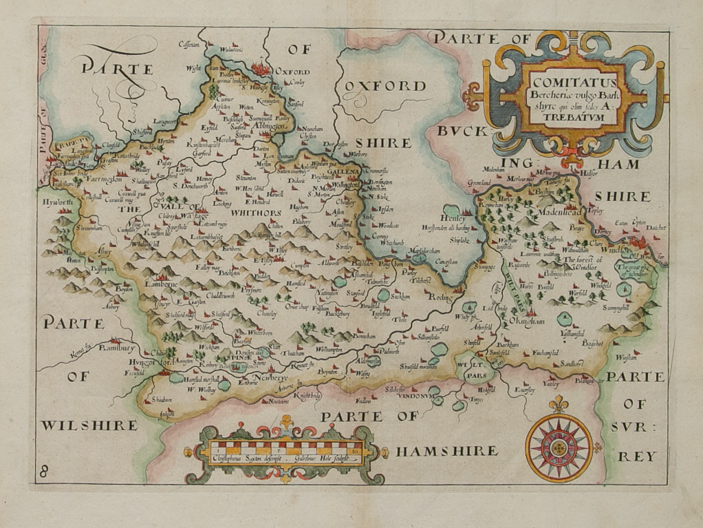
Brief Description: Saxton Hole maps were published in William Camden’s “Britannica” between 1607 – 1637. They were engraved by William Hole & William Kip and based on the larger Christopher Saxton county maps first published in 1574 

Email Us


Trading Terms & Customer Information


Scottish Pictures

Email: ian@scottishpictures.com


Privacy Policy